Forestry Operations
The current work in the Balloch Wood by Forestry & Land Scotland
11th December 2024
The clear felling of the Phase 1 section of conifer was completed.
Clicking on the above link will open the
FLS Management Map of Balloch Wood.
You can zoom in/out using the controls
immediately above the map.
Clicking on the above link will open the
FLS Management Plan for Balloch Wood.
Felling in both areas has finished, and removal of the felled trees is underway. Once this is completed the areas will be prepared for replanting with native mixed broadleaf - the standard is bare rooted at 1,600 per hectare.
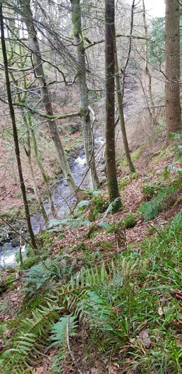
The lower section covers the area from where Forestry and Land Scotland (FLS) created their storage area for the cut timber, to the western of the two burns which come down from the hills.
The other burn, in the felled area is where the lower path though the wood comes up to meet the higher path.
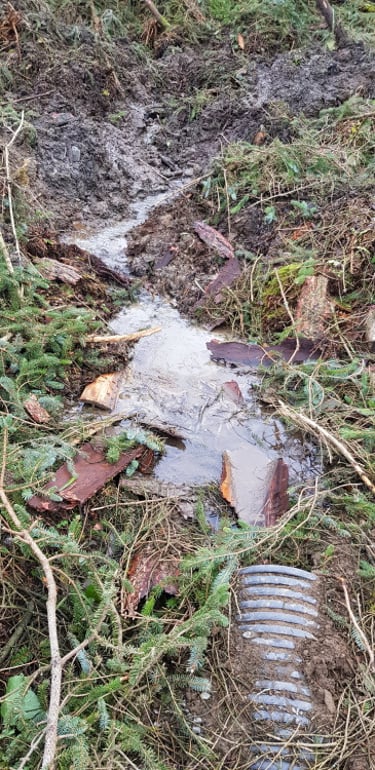
The “Cardoon Bridge” (See Note), at this location, is intact. The upper cleared section also obstructs the paths to the far end of the wood.
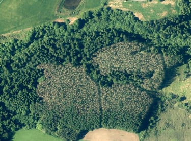
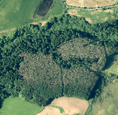
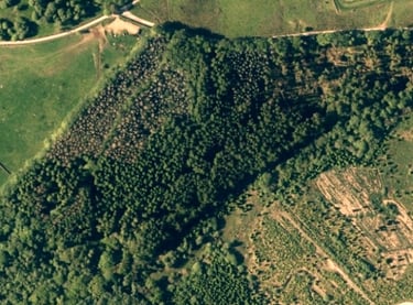
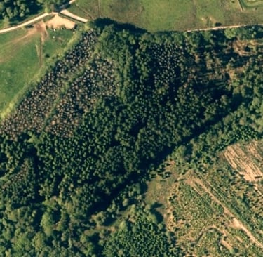
A major clear felling operation by (FLS) covered two areas of diseased larch, both of which obstructed the main Core Path which runs through the entire length of the wood.
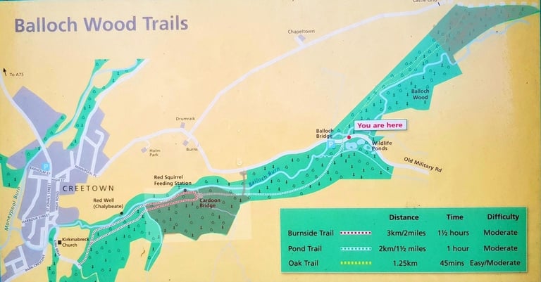
Total felled area, shown shaded, is 19.5 hectares ( out of 69 ha ),
The separate Chain Wood is 30 hectares
The brown crowns of the diseased larch can be seen in these two aerial images (OS maps).
The central area, 86008 is the one which affects most walkers from the village.
Area 86007 is at the upper
NE corner of the wood.

Update: 21st Jan 2025
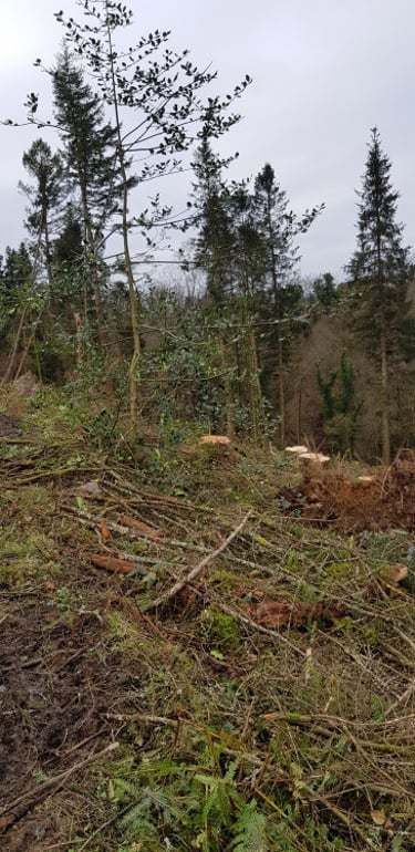
On the 9th January a few members of the “Initiating Group” were accompanied by two officers from FLS on a walk along the full route through Balloch Wood. The numerous concerns of the community were pointed out. It was noted that as well as the diseased larch, about 6 mature Douglas Firs had also been felled.
The FLS officers agreed that there were legitimate concerns, and that they would take these up with the department responsible for the site.
They also confirmed that the Burnside Trail loop, the Pond Trail & the Oak Trail would be reinstated, once general tidying up had been completed. Note that part way up, the Oak Trail has a very difficult section - just after the carved Oak Board, which has very deep mud and very uneven stones, so take extreme care at this point.
We are pleased to report that the stone Cardoon Bridge is intact, though the burn that runs through it has a lot of debris from the felling; including the original path waymarkers - which were recovered to the bank.
Due to ongoing work in the felled area, it is strongly recommended that the public do not attempt to walk through the felled areas of the wood.
Photographs of the path from Creetown up to the felled area - 11 Dec 2024
Click a photo to see larger image and access the gallery.
Arrow keys to navigate
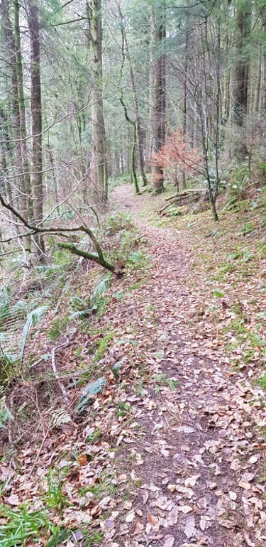
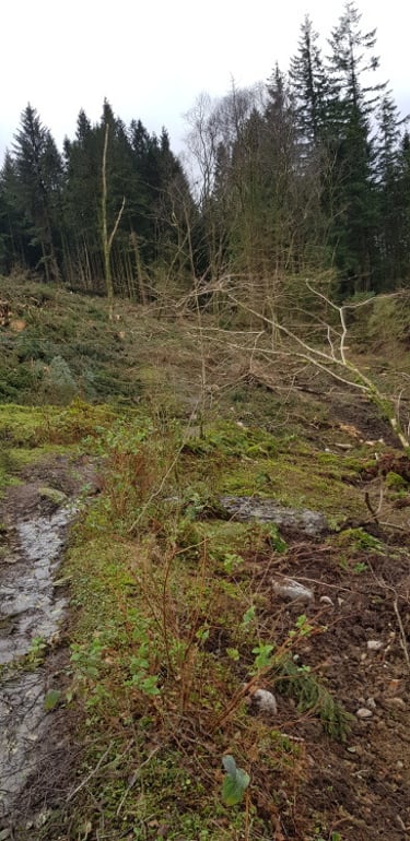
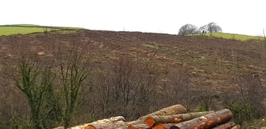
The paths from Creetown up to the edge of the felled area, are in reasonable condition, but have suffered this year due to the high rainfall; some parts have water running down them.
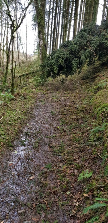
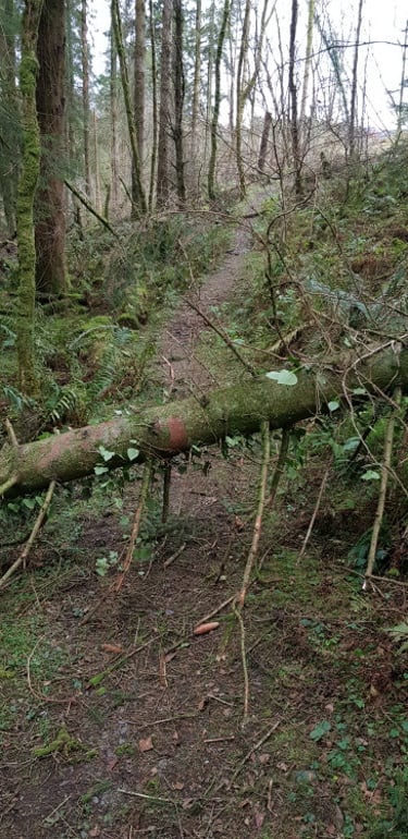
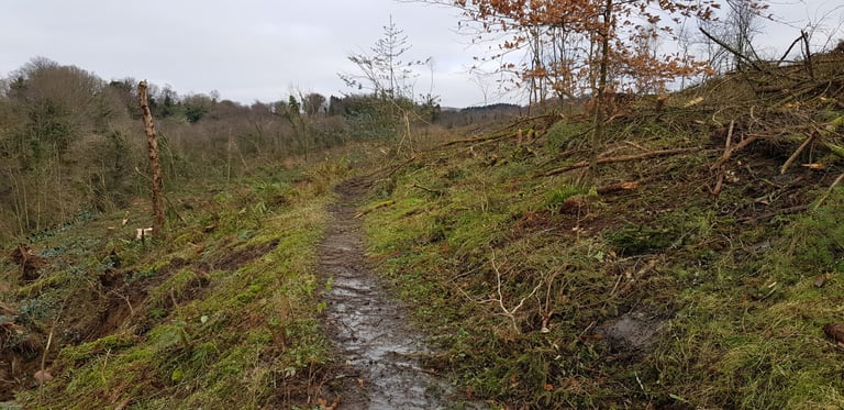
At the start of the felled area, the route of the original path is just about discernable. Although very muddy and with disruption to previously culverted water courses.
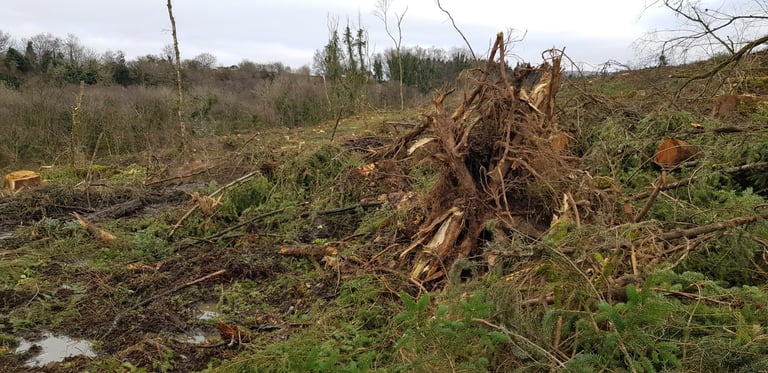
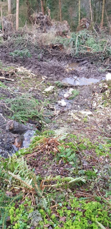
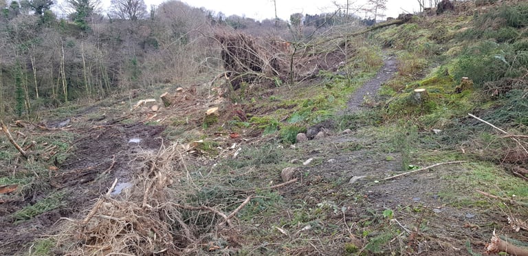
A bit further on however the route becomes impassable.
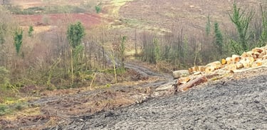
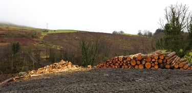
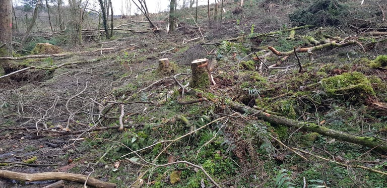
Views across to the felled area from the timber storage site on the road.
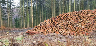
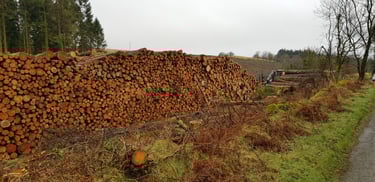
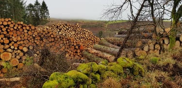
The timber storage area itself. A number of similar log piles have already been removed & replaced.